Census Mapper
In order to preserve our history, and engage a younger audience to the cause, we must bring historical context into modern systems. That's why we're launching the Census Mapper project.
Together with local volunteers as passionate about history as we are, we're building a system that allows people to visualize the historical census population data in a way never seen before.
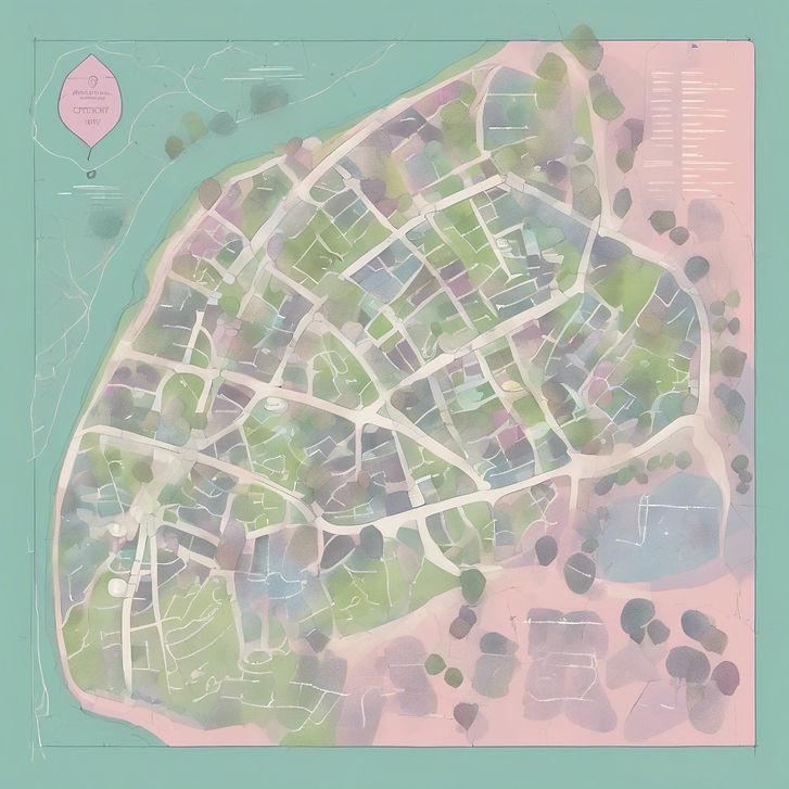
Census data is critical for genealogists and family history enthusiasts, but did you know that it can be used as a foundation upon which a cultural resource program in your community can be built? Historical maps are jam-packed full of interesting historical geographical information. And historical people were enumerated within geographic enumeration district boundaries. This means that you can click on an enumeration district boundary and retrieve information about all of the people who lived within that boundary, at any time in history - dating back to 1790! You won't find this on Ancestry.com or any other genealogical website. Which is why I cannot show an example of the working application here.
This is an exciting project, and I'm thrilled to watch it grow.
If you want to see where an ancestor lived, or you want to be a part of building your community's cultural resources, you should check this out. Get in touch for a demonstration

The Census Mapper Team
This project is proudly brought to you by these wonderful ladies who took a chance and thought mapping historical census data was a fun idea! They are the first to offer their time and consideration for this project and I am so grateful to them. Thank you Cheryl, Diane, and Mary!
Together, we launched something special that our community can use to explore our local history and the people who helped build it. Phase two is coming this fall. Location to be announced closer to that date. Look back here as details firm up.
Local history is a BIG part of the broader field of Spatial Humanities. We're doing our part to use technology, mapping systems and web design to communicate the value of our historical assets and culture. We would love for you to join us in this mission. If you think your organization could benefit from having this cultural resource in your community, please do reach out!

SAPIC Volunteers and Projects Tracker
Working with the State Association for the Preservation of Iowa Cemeteries is a rewarding experience. I get to learn from people who have done work in cemetery preservation for a long time, and I get to make contributions to our organization with my own skills. As the media chairperson for this agency, my job is to promote our cause, share our mission, and find ways to support our efforts. In this regard, I've built a mapping application that enables volunteers and cemetery conservationists to share the work they've done, creating interest and appreciation in local communities for the stewards of these public spaces. The project doubles as a method we use to capture data about the projects we help finance.
Have you done any work in a cemetery? Please consider making a contribution to our application by telling your story!
Sims Cemetery is the resting place of pioneers and early settlers of Des Moines. Several headstones are toppled, broken, and in disrepair. Spatial Agency and Wade Fowler, of Millennial Stone Cleaner have teamed up to tell the story. Check out this mapping application that documents the conservation project and allows the public to make a contribution to the legacy of those at rest here.

Our township cemeteries are just brimming with local history and culture. It's my privilege to go into these cemeteries, wandering around capturing the legacies of those at rest. Some of them are so interesting. This project is really just getting started, so stay tuned as things progress!